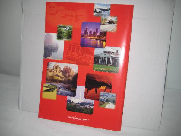
Beautiful edition of Rand McNally road atlas, copyright 2004.
Distributed by State Farm Insurance. Contains 144 pages.
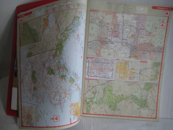
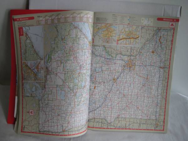
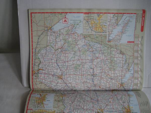
Clear full-color maps of the entire United States, plus Canada and Mexico. Many insets of large cities included, as well as charts of mileage, lists of national parks, and explanations of road signs and symbols. Includes historical facts, elevations of various areas, and colorful photos of national landmarks. Contains a map of driving times, and some pre-planned road trips featuring key geographical areas in North America!
This would be a great resource to help children and students understand maps! Beautiful atlas for a collector. It's vintage, but many of the features would still be useful today!
Has been taken care of, and stored in a smoke-free, pet-free home. All pages are intact. This atlas shows very little wear, other than very slight wear on some corners.
Asking $10.00 cash only, please.
Will use email, and will check emails regularly.
Would meet in a convenient public area in northwest metro area including Plymouth, Champlin, Brooklyn Park, Albertville, Maple Grove, etc. (example: Cub Foods pkg lot in Maple Grove) Occasional trips to Mankato.